

Hyades Raises A$990K in Pre-Seed Round led by Icehouse Ventures
Jul 13, 2026 | By Nguyen Minh

Auckland-based startup Hyades, which helps businesses build AI models using map-based data like satellite images, drone footage, and radar, has raised NZ$1.1 million (around A$990,000) in a pre-Seed funding round.
 Follow us
 Follow us
The funding round was led by Icehouse Ventures with support from K1W1 and angel investors Tony Falkenstein and Tim Brown.
In addition to the investment, Hyades also received a NZ$400,000 "New to R&D" grant from the New Zealand government to support its research and development efforts.
Hyades is building a new platform, which is currently in its early alpha stage. The platform brings together different types of complex data, such as spatial and map-based information, into one easy-to-understand system. This helps industries like insurance, agriculture, mining, and climate science use location-based data to make better business decisions.
RECOMMENDED FOR YOU
The new funding will be used to work with enterprise partners, hire more AI engineers, and improve the platform before launching it to a wider market.
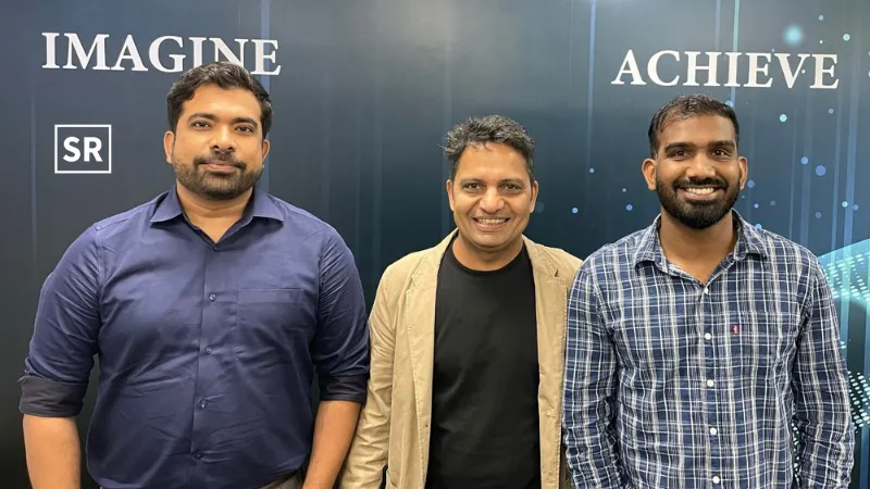
Hyades was founded by University of Auckland graduates Ashin Alex, Sam Kurian, and Jimin Seo.
Before starting Hyades, Ashin Alex worked on the physics startup Quantified Photonics. During his university research, he developed a ground-based optical receiver that could capture and decode signals from optical communication satellites.
Alex later teamed up with Sam Kurian, who is now the company's CTO. The idea started after Alex noticed in a physics lecture that Kurian did not take notes because he had already built a system to automatically collect and combine the information into a single dataset.
“Our vision is to enable AI agents to understand any set of high-dimensional data, even if it encompasses multiple forms that LLMs currently can’t really deal with,” Alex said.
“We’re tackling spatial data because it’s one of the hardest and most fragmented industries, with complex, messy data. We saw the mess as a challenge to be solved.”
“Everyone understands the need to better understand the risks from changing weather patterns and climate effects,” Alex said.
“In the wake of the Auckland floods and Cyclone Gabrielle, as well as weather events this year, we need to be able to make better sense of the wealth of geospatial data available.”
Recommended Stories for You

Nguyen Minh Jan 20, 2024

Team SR Oct 2, 2024
Yan li Aug 5, 2025

Yan li May 20, 2025
Trending Stories

Hong Kong-Based Concept 4 has Partnered with PALO IT

DDC Enterprise and Animoca Brands Team Up in $100M Bitcoin Partnership to Boost Corporate Treasury
Qupital Unveils AI-Driven On-Chain Lending Protocol for E-Commerce Companies
HMG and MediConCen Partner to Lead Medical Claims Digitalization in Hong Kong

RD Technologies Raises $40M to Expand Stablecoin and Fintech Services

Hong Kong-Based EVG has Partnered with KuCoin

WeLab Teams up with HKIC to Boost AI Capabilities

Kun Secures Series A Funding Round